

The Everest Three High Passes Trek is the most complete way to experience the Khumbu. In twenty days you cross all three of the region’s great passes, Kongma La, Cho La and Renjo La, stand at Everest Base Camp, watch sunrise from Kalapatthar, and walk the turquoise shoreline of the Gokyo Lakes. Firante’s own Sherpa guides have led this route for years and know exactly where to slow down for acclimatization and where the views are worth the extra hour of climbing.


Trip overview
The Everest Three High Passes Trek is the most demanding and most rewarding trekking route in the Khumbu. Instead of choosing between Everest Base Camp and the Gokyo Lakes, this itinerary links both together with three high mountain passes: Kongma La (5,535 m), Cho La (5,420 m) and Renjo La (5,446 m). Along the way, you pass through Chhukung valley, Thame valley, and the glacier country around Ngozumba, Nepal’s longest glacier. Beyond the passes, the route also takes in Gokyo Ri (5,357 m) for the wide panorama of the Gokyo valley, Kalapatthar (5,545 m) for the closest non-technical view of Everest’s summit, and Everest Base Camp (5,364 m) itself beneath the Khumbu Icefall.
The Three Passes at a Glance
Each of the three passes has its own character, and knowing what to expect from each one is part of preparing properly for this trek.
Kongma La (5,535 m)
This is the highest pass on the route, and in fact sits higher than any point on the standard Everest Base Camp trek, including Base Camp itself (5,364 m). It is usually the first of the three passes crossed, before the group is fully acclimatized, so how a trekker handles this day is often the guide’s first real read on how the rest of the trek is likely to go.
Cho La (5,420 m)
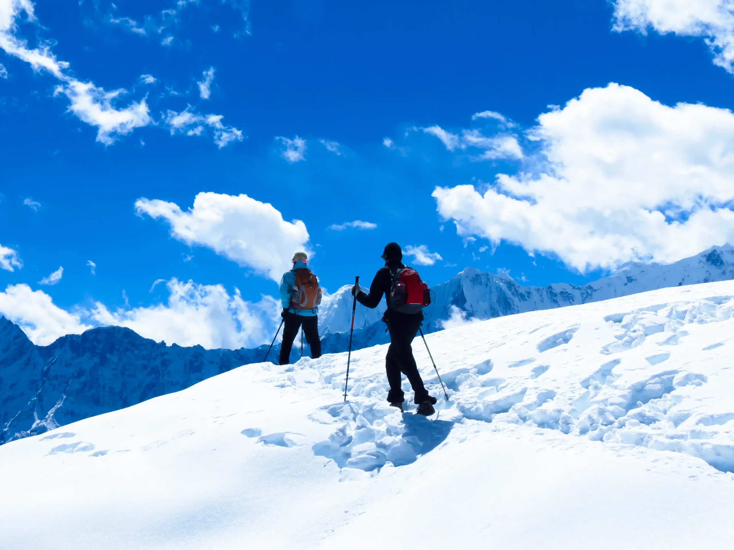
Generally regarded as the most technical of the three. The descent crosses a genuine stretch of glacier ice, uneven and exposed, where crampons or microspikes are not optional gear, unlike the rockier, scree-based terrain on Kongma La and Renjo La.
Renjo La (5,446 m)
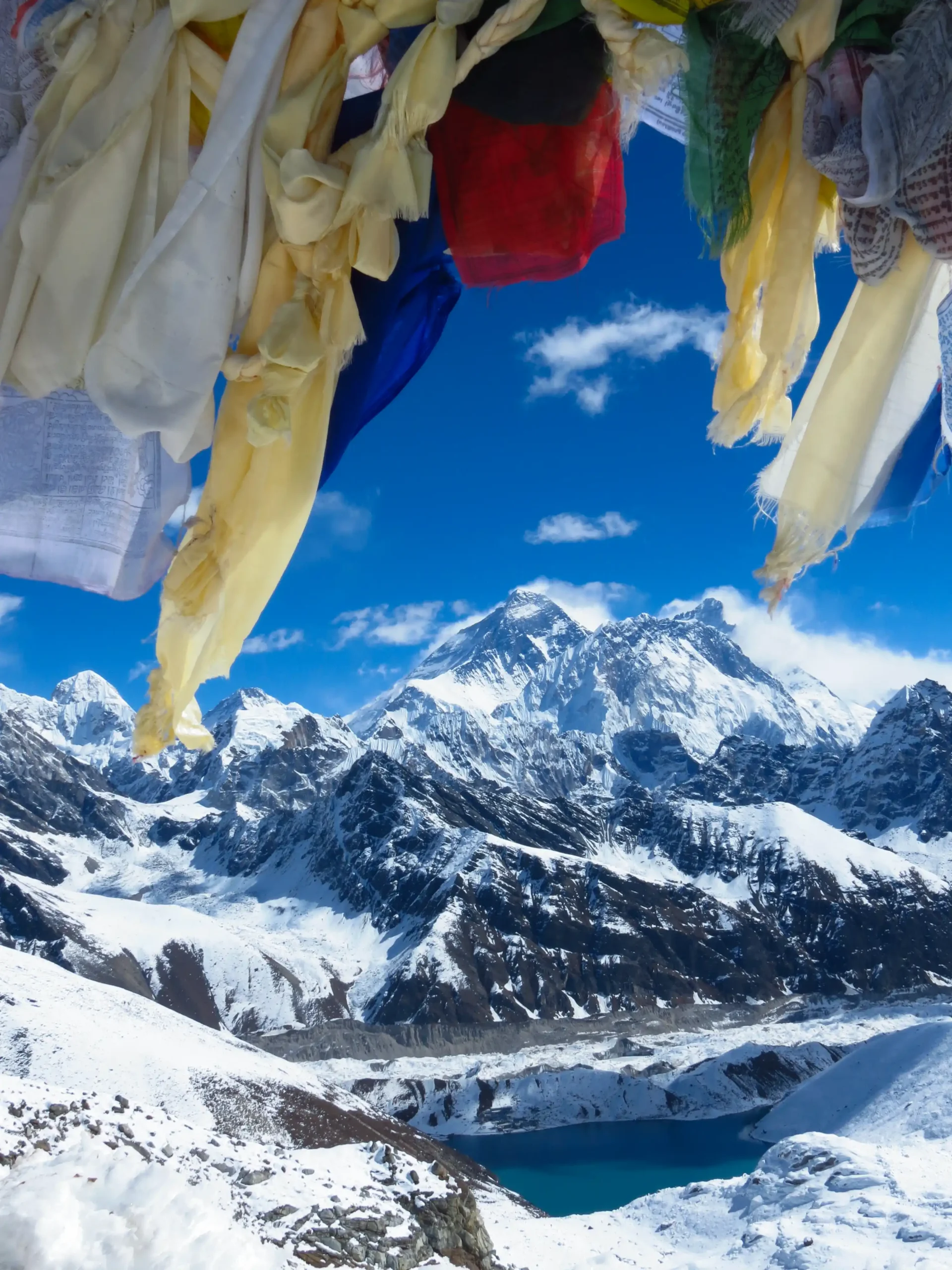
Often called the best reward-to-effort pass on the route. The summit is the only point on the entire trek where Everest and the turquoise Gokyo Lakes are both visible together in a single view.
How This Differs from the Standard Everest Base Camp Trek
Where the classic EBC trek is a well-trodden out-and-back with teahouses roughly every hour and near-constant company on the trail, the Three Passes route is a full loop. Between the passes, teahouses thin out, food options get more basic, and trekkers see far fewer people. It also carries more schedule risk than EBC, since three separate mountain passes each need workable weather individually, rather than one main trail, so flexibility around pass-crossing days matters more here than on the standard route.
Guides on This Route
The Everest Three High Passes Trek is a demanding high-altitude journey through the Khumbu, crossing Renjo La, Cho La and Kongma La. While independent trekking has remained possible in the Everest region under the local arrangements of Khumbu Pasang Lhamu Rural Municipality, regulations and checkpoint practices can change.
For a challenging route involving three high mountain passes, a licensed local guide is strongly recommended. Every Firante departure is accompanied by an experienced licensed guide and support crew, providing route knowledge, altitude-management support, and assistance throughout the trek.
Firante’s Experience on This Route
Firante has run this trek with real trekking groups, and we lead it with our own local Sherpa guides who know the region firsthand, not just from a map. That local knowledge matters most on this route, since the day-to-day decision of which pass to attempt and when depends on snow conditions, wind, and how the group is acclimatizing, and it is exactly where an experienced local team makes the difference between a trip that goes smoothly and one that gets turned back at a pass.
Everest Three High Passes Trek Highlights
- Cross all three Khumbu passes in one trip: Kongma La (5,535 m), Cho La (5,420 m), and Renjo La (5,446 m)
- Stand at Everest Base Camp (5,364 m) beneath the Khumbu Icefall
- Sunrise over Everest from Kalapatthar (5,545 m)
- Walk the shoreline of the Gokyo Lakes and climb Gokyo Ri for the full Everest–Cho Oyu–Makalu panorama
- Visit Tengboche Monastery, the largest and most important monastery in the Khumbu
- Explore Sherpa villages including Namche Bazaar, Khumjung and Thame
- Firsthand acclimatization planning from Firante’s own Sherpa guiding team
- Two UNESCO-listed protected areas: Sagarmatha National Park and the Everest Buffer Zone
Everest Three High Passes Trek Itinerary
Expand AllArrival in Kathmandu (1,350 m)
A Firante representative will meet you at Tribhuvan International Airport and transfer you to your hotel by private car. Once you have settled in, take the rest of the day to rest, or head out to explore Thamel. In the evening, Firante hosts a welcome dinner with traditional Nepali cuisine, and you will meet your trek leader for a first briefing.
Kathmandu Sightseeing and Trek Preparation
After breakfast, we visit four of Kathmandu’s UNESCO World Heritage Sites: Kathmandu Durbar Square, Pashupatinath Temple, Swayambhunath (the “Monkey Temple”), and Boudhanath, the largest stupa in the world. In the afternoon, we go through final trek preparation with your guide and meet the rest of the group.
Fly to Lukla, Trek to Phakding (2,651 m) 40 minutes flight, 3-4 Hrs of Trek
Your Everest Three High Passes adventure begins with an early morning flight to Lukla, the main gateway to the Khumbu region. On a clear day, the short mountain flight offers beautiful views of the Himalayan landscape before landing at Tenzing-Hillary Airport.
Depending on the season, airline schedule and current flight operations, your flight to Lukla may depart from Kathmandu or Manthali (Ramechhap). When flights are operated from Manthali, you will travel by road from Kathmandu to Ramechhap Airport before taking the flight to Lukla. The drive requires an early start, and the exact departure arrangements will be confirmed before your trek.
After landing in Lukla, you will meet the local support team and have breakfast before starting the trek. The trail gradually leaves Lukla and heads north toward Phakding, following the Dudh Koshi River through the lower Khumbu valley.
The first section of the trail passes through small mountain settlements, cultivated fields and forested hillsides. You will walk through Cheplung, where, on a clear day, you can see Khumbila, a sacred mountain deeply respected by the Sherpa community.
From Cheplung, the trail continues through the valley, crossing small streams and passing traditional mountain villages as it follows the Dudh Koshi River. The route eventually reaches Phakding, a peaceful riverside settlement and one of the traditional overnight stops on the way to Namche Bazaar.
Although this is a relatively short trekking day, it marks the beginning of your journey into the high Himalayas. The gradual start gives you an opportunity to settle into the mountain environment before the trail becomes steeper and more demanding in the days ahead.
Flight Note: Lukla flights are highly dependent on weather, air traffic and airline operations. During busy trekking periods, flights may operate from Manthali/Ramechhap instead of Kathmandu. The departure airport and flight schedule can change, so some flexibility should be maintained when planning your journey.
Phakding to Namche Bazaar (3438 m) : 11 km, 5-6 Hrs of Trek
The trail today runs steadily uphill and downhill, and we cross the Dudh Koshi River on suspension bridges several times along the way. Near Benkar village, Mount Thamserku comes into view above the valley, one of the first big peaks of the trek. After the bridges, we enter Sagarmatha National Park at Monjo, where your trekking permits are checked, then continue through Jorsale before the final climb into Namche Bazaar. From Namche, on a clear day, you get your first real look at Everest, Tawache, Lhotse, and several other Himalayan giants.
Namche Bazaar - Rest and Acclimatization Day
A full rest and acclimatization day. Rather than sitting still, we take a short hike, either around Namche itself or up toward the Everest View Hotel for close-range mountain views. Options include Khumjung monastery, home to a relic said to be a yeti scalp, the Hillary School, and the Sagarmatha National Park visitor centre for background on the region’s flora, fauna, and mountaineering history.
Namche Bazaar to Tengboche (3860 m) 10 km, 5-6, Hrs of Trek
An easier trail leads out toward Phunki Thanga before the climb begins up to Tengboche, home to the largest monastery in the Everest region. Tengboche sits inside Sagarmatha National Park, and from the monastery grounds you get a picture-perfect view of Everest alongside Lhotse, Ama Dablam, Nuptse and Thamserku. We aim to reach the monastery by early afternoon, since that’s when the monks often hold their prayer ceremony, and it’s worth timing the day around.
Tengboche to Dingboche (4,360 m) 9km, 5-6 Hrs
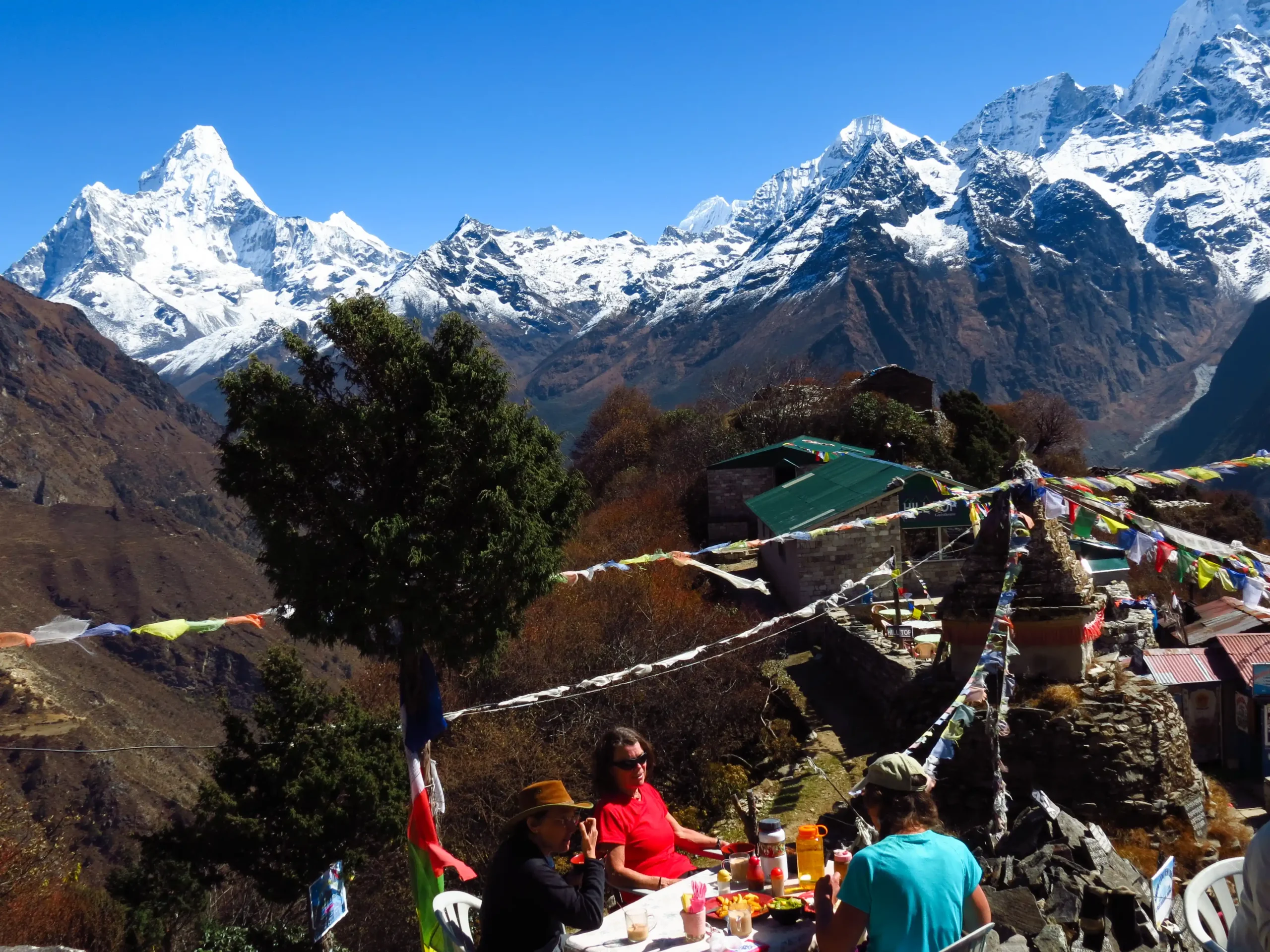
The day starts with a downhill stretch through dense forest, thick with rhododendron, conifer, and birch, with Everest, Ama Dablam, and Lhotse in view along the way. We drop down to Debuche and cross the Imja River before climbing to Pangboche, home to another important monastery and clear Himalayan views from its upper trail. From there, we continue through the Imja valley, then ascend to Dingboche, a striking, windswept village lined with chortens and prayer flags.
Dingboche, Acclimatization Day
Dingboche is where most climbers and trekkers pause to acclimatize before pushing on toward Everest, Imja Tse and Ama Dablam. The village itself is worth a look; its fields of barley, potato, and buckwheat are boxed in by stone walls that protect them from grazing animals and the strong winds up here. For the acclimatization hike, we head up Nagarjun Hill, which opens up views of Lhotse, Makalu, Ama Dablam, Tawache and Cholatse all at once.
Climb Chhukung Ri (5,546 m), 14 km, 6–7 Hrs
The trail runs past stone-walled fields into the Imja Khola valley, then onto glacier moraine surrounded by rocky peaks. Near Bibre, Amphu Labtsa and Ama Dablam come into clear view, and the trail from here crisscrosses icy streams on the way to Chhukhung. After lunch, we climb Chhukung Ri itself, and the summit gives a close, striking view of both Amphu Labtsa and Ama Dablam before we descend back to Chhukhung for the night.
Cross Kongma La pass & trek towards Lobuche (4940m) 10km, 6-7 Hrs
An early start for the highest of the three passes, Kongma La. Depending on conditions, we take either the route north-east of Chhukhung above the Nuptse glacier, or back via Bibre and the Niyang Khola. The final descent from the pass is the most technical part of the day. From the moraine, the trail turns north along the Khumbu Glacier into Lobuche.
Note: Trekking to Kongma La Pass is optional if you don’t want to undertake such a challenging trail; we can head directly to Lobuche from Chukhang.
To Gorak Shep (5,170 m), Visit Everest Base Camp (5,364 m) 13km, 6-7 Hrs
The trail follows the moraine of the Khumbu Glacier, with Everest’s north ridge in view alongside Mahalangur, Khumbutse, Nuptse and Lingtren. We climb up toward Thangma Riju for a wide view of the surrounding landscape, then push up the steep trail past the Changri glacier to reach Gorak Shep. After a short rest, we continue toward Everest Base Camp itself, crossing rocky hills, streams, and moraine along the way. At Base Camp, Khumbutse, Pumori, Nuptse, and Everest rise directly around you before we retrace the trail back to Gorak Shep for the night.
Optional: Some groups prefer to hike up to Kalapatthar this same evening for sunset views over Everest rather than waiting for the next morning; your guide will advise based on weather and energy levels.
Kalapatthar (5,545 m), Trek to Lobuche (4940m) 7km, 8-9 Hrs
An early start gets us to Kalapatthar in time for sunrise over Everest, one of the coldest and highest points of the whole trek, so come prepared. Along the way, Khumbutse, Changtse, Nuptse, Lingtren, and Everest all stay in view. From the top, Everest and its neighboring peaks feel close enough to touch. After taking it in, we descend back down to Lobuche for the night.
Lobuche to Dzongla (4830m) 6km, 3-4 Hrs of Trek
Today’s trail runs downhill along the Khumbu Glacier. Where the path splits in two, we take the right-hand trail, which offers a good view of Awi Peak along the way. We pass a series of stupas before the trail climbs again, and Chola Tsho Lake comes into view, followed by a second, smaller lake further along. From there, we cross the Chola Khola on a bridge and arrive in Dzongla, sitting right below the approach to Cho La.
Cross Cho La Pass (5,420 m) to Gokyo(4,790 m) 6km, 7-8 Hrs
This is where Cho La Lake starts to appear as the trail climbs toward the pass. The ascent is genuinely steep, with large boulders underfoot making the going slower, and the final stretch curves carefully around crevasses near the top, so pace and footing matter here more than any other day. The surrounding peaks make it worth the effort. On the far side, the trail eases off as it drops toward Thangnak, and continues on to the edge of the Ngozumba Glacier, Nepal’s longest. Once across, the second Gokyo Lake comes into view, and a short walk further brings the third lake, with Gokyo village sitting right on its shore.
Rest in Gokyo, Climb Gokyo Ri (5357m),Fourth and Fifth Lakes, 3-4
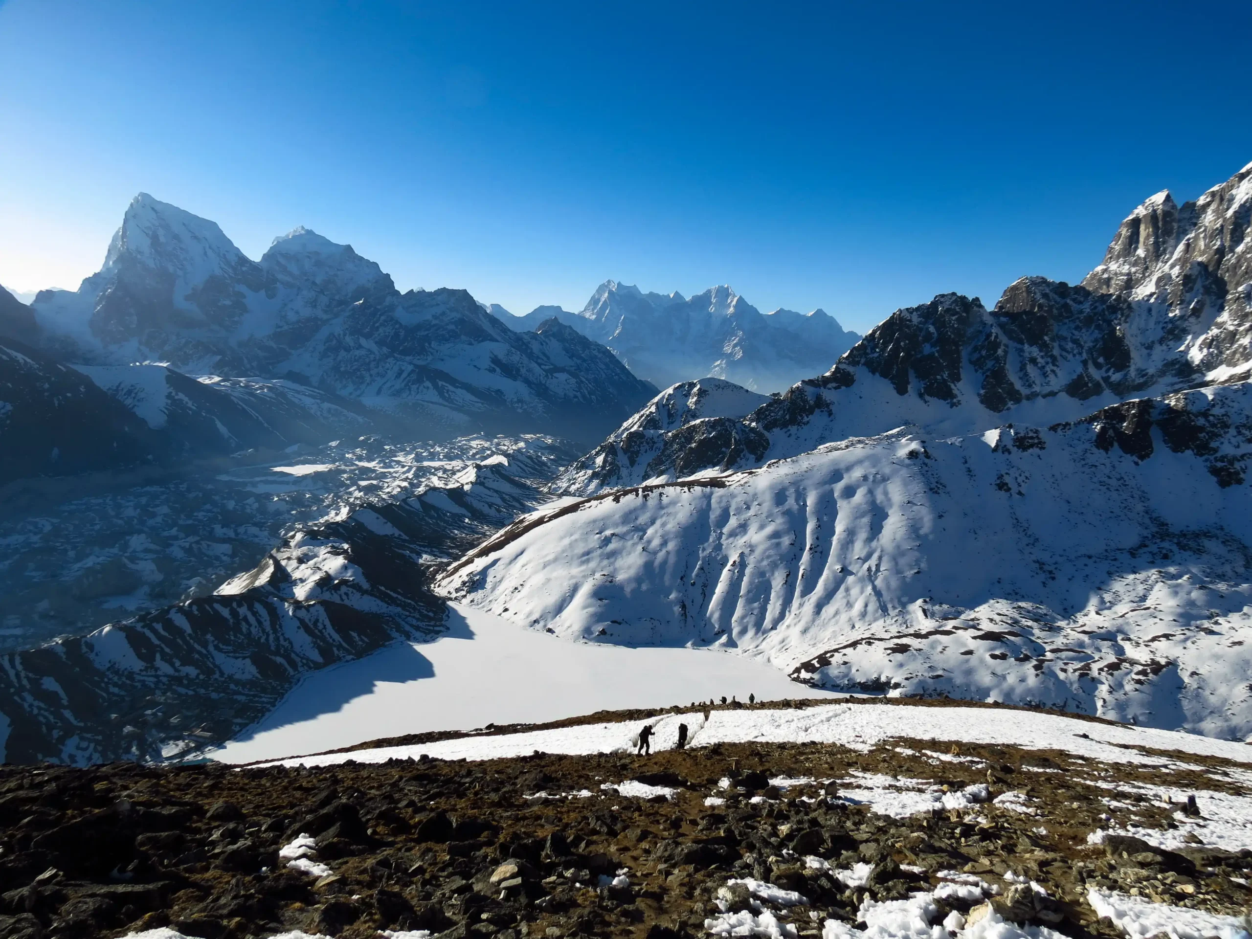
We climb Gokyo Ri in the morning for one of the best panoramas on the entire trek. From there, we continue on to the fourth Gokyo Lake, roughly 3 km from the village, then push on to the fifth, where Scoundrel’s Viewpoint looks out over Lhotse, Cho Oyu, Makalu, Nuptse, Everest, Gyachung Kang, and the full sweep of the Ngozumba Glacier. We retrace our steps back to Gokyo for the night.
Cross Renjo La Pass (5,360 m) to Marlung (4,210 m) 11km, 7-8 Hrs
This is a long day, so we start early. The trail follows the Dudh Koshi before the climb to Renjo La begins, with the Rolwaling range coming into view along the way, and from the top, a clear line of sight straight to Everest. The descent runs down a stone staircase toward the south bank of Angladhumba Tsho, over icy sections that call for careful footing, past Relama Tsho and Renjo La Lake, then through a narrow, boulder-choked valley toward Lumde before the final stretch into Marlung.
Marlung (4,210 m) to Namche Bazaar(3,438 m) (via Thame),15km, 5-6 Hrs
We descend from Marlung to Thame along the old trans-Himalayan trading route, walked by Tibetan traders for centuries, crossing the Bhote Koshi River and passing through Taranga along the way. Two more bridge crossings bring us into Thame itself, known for its monastery set high on the hillside above the village. From there, the trail descends gradually through several more villages before reaching Namche Bazaar.
Namche Bazaar(3,438 m) to Lukla (2,840 m), 19km, 6-7 Hrs
The trail descends steadily, crossing the Dudh Koshi repeatedly on suspension bridges as the terrain levels out. We walk through wide stretches of pine and rhododendron forest, with snow-capped peaks still visible behind us, and pass through Sherpa villages marked by prayer walls and flags before the final stretch into Lukla.
Fly Lukla to Kathmandu, 40 minutes flight
An early flight back to Kathmandu, weather permitting, avoids the afternoon winds common in the mountains. Once back at the hotel, there is time to rest or shop in Thamel. In the evening, Firante hosts a farewell dinner to celebrate finishing the trek.
Final Departure
A Firante representative will transfer you to the airport, timed roughly three hours ahead of your flight, bringing the trip to a close.
Airport drop-off by private car.
Not quite satisfied with this itinerary?
No worries – every traveler has unique preferences, and we’d be happy to adjust the plan to match your style, comfort, and interests. Let us know what you’d like to add or change, and we’ll create a journey that feels truly yours.
Customize TripCost Includes
- Airport pickup and drop-off by private vehicle
- Domestic flights: Kathmandu–Lukla–Kathmandu
- Hotel accommodation in Kathmandu, twin-sharing, with breakfast
- Teahouse accommodation during the trek
- All meals during the trek (breakfast, lunch, dinner, with tea/coffee)
- Experienced English-speaking Sherpa guide, assistant guide and porter(s), including their flights, salary, food, lodging and insurance
- Sagarmatha National Park Entry Permit and Khumbu Pasang Lhamu Rural Municipality Permit
- First aid medical kit
- All government and local taxes, including VAT
- Kathmandu sightseeing tour with a private vehicle
- Welcome and farewell dinners
Cost Excludes
- International airfare to and from Nepal
- Nepal entry visa fee
- Travel insurance and emergency evacuation
- Personal trekking gear and equipment
- Alcoholic and bottled/canned beverages
- Personal expenses (laundry, hot showers, extra snacks, charging fees on trek)
- Tips for guides and porters
- Extra costs from flight delays, cancellations or early return from the mountains due to weather, health, or other circumstances beyond Firante’s control
- Anything not specifically listed under Cost Includes
Additional Informations
Accommodation
Firante books 3-star hotel accommodation with breakfast in Kathmandu, and teahouse lodging along the trail. Teahouses at altitude are simple but comfortable, typically twin-share rooms with shared bathrooms, and get more basic the higher you go. Upgraded hotel rooms in Kathmandu are available on request for an additional cost; this option is not available in the mountains.
Best Season
The Everest Three High Passes Trek runs best in spring (March to May) and autumn (September to November), when the passes are clear of fresh snow and visibility is at its best. Winter brings closed or dangerous pass conditions; the monsoon (June to August) brings poor visibility and slippery trails.
Difficulty and Fitness
This is a strenuous trek. You will spend multiple days above 5,000 m and cross three passes, each requiring six to eight hours of walking on a mix of rocky, icy and glacial terrain. Prior trekking experience at altitude is strongly recommended, and a good level of cardiovascular fitness makes a real difference to how much you enjoy the high days.
Permits Required
Two permits cover the entire route: the Sagarmatha National Park Entry Permit and the Khumbu Pasang Lhamu Rural Municipality Permit. A TIMS card is no longer required for treks inside the Khumbu region, since the municipality permit replaced it. Firante arranges both permits as part of the package; you only need to provide passport copies and passport photos in advance.
Guide and Support Team
Firante’s Everest region groups are led by experienced local Sherpa guides, supported by porters. Guides carry radios and altitude-monitoring know-how, and the team plans acclimatization and pass-crossing days around actual conditions and how the group is doing, not a fixed script.
Altitude and Safety
With three passes above 5,300 m, altitude is the main safety factor on this route. Firante’s itinerary builds in dedicated acclimatization days at Namche Bazaar and Dingboche, and your guide monitors the group daily for signs of altitude sickness. Travel insurance with high-altitude and emergency evacuation cover is required.
Getting There
The trek starts and ends with a Kathmandu–Lukla–Kathmandu flight.
Trip Gallery
Trip FAQs
How hard is the Everest Three High Passes Trek?
It is one of the more strenuous treks in the Khumbu region, involving three passes above 5,300 m and multiple long days above 5,000 m. Trekkers should have prior high-altitude experience or strong general fitness and be prepared for six-to-eight-hour walking days on rocky, icy, and glacial terrain.
What permits do I need for Everest high passes trekking in Nepal?
Two permits: the Sagarmatha National Park Entry Permit and the Khumbu Pasang Lhamu Rural Municipality Permit. A TIMS card is not required inside the Khumbu region. Firante arranges both as part of the package.
Which passes are included in the Three High Passes Trek?
Kongma La (5,535 m), Cho La (5,420 m) and Renjo La (5,446 m), along with Everest Base Camp, Kalapatthar and the Gokyo Lakes.
Do I need previous trekking experience?
Previous experience at high altitude is strongly recommended given the difficulty of the passes, but it is not a strict requirement. Good fitness and mental preparation for long, high-altitude days matter as much as prior trekking history.
What is the best time of year for this trek?
Spring (March–May) and autumn (September–November) offer the clearest pass conditions and best mountain visibility. Winter and monsoon months bring higher risk of snow-blocked passes and poor visibility.
How many acclimatization days are built into the itinerary?
Two dedicated acclimatization days, in Namche Bazaar and Dingboche, plus a naturally gradual ascent profile across the twenty days.
Can I do the trek without a guide?
Firante includes an experienced Sherpa guide, assistant guide and porters in every package. Given the remoteness and technical difficulty of the passes, we strongly recommend trekking with a guide rather than solo.
You may also like

Everest Base Camp Trek
Everest Base Camp Trek: Experience the ultimate Himalayan adventure with breathtaking views of Mount Everest, Sherpa culture, and iconic monasteries. Perfect for thrill-seekers and nature lovers. Trek safely with proper acclimatization, expert guides, and essential gear.
Lukla to Namche Trek
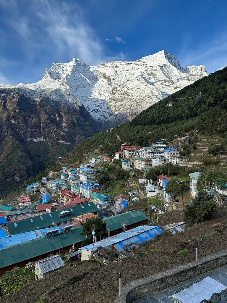
The Lukla to Namche Trek is where many Everest journeys begin, but it is also a complete journey on its own. You fly into...
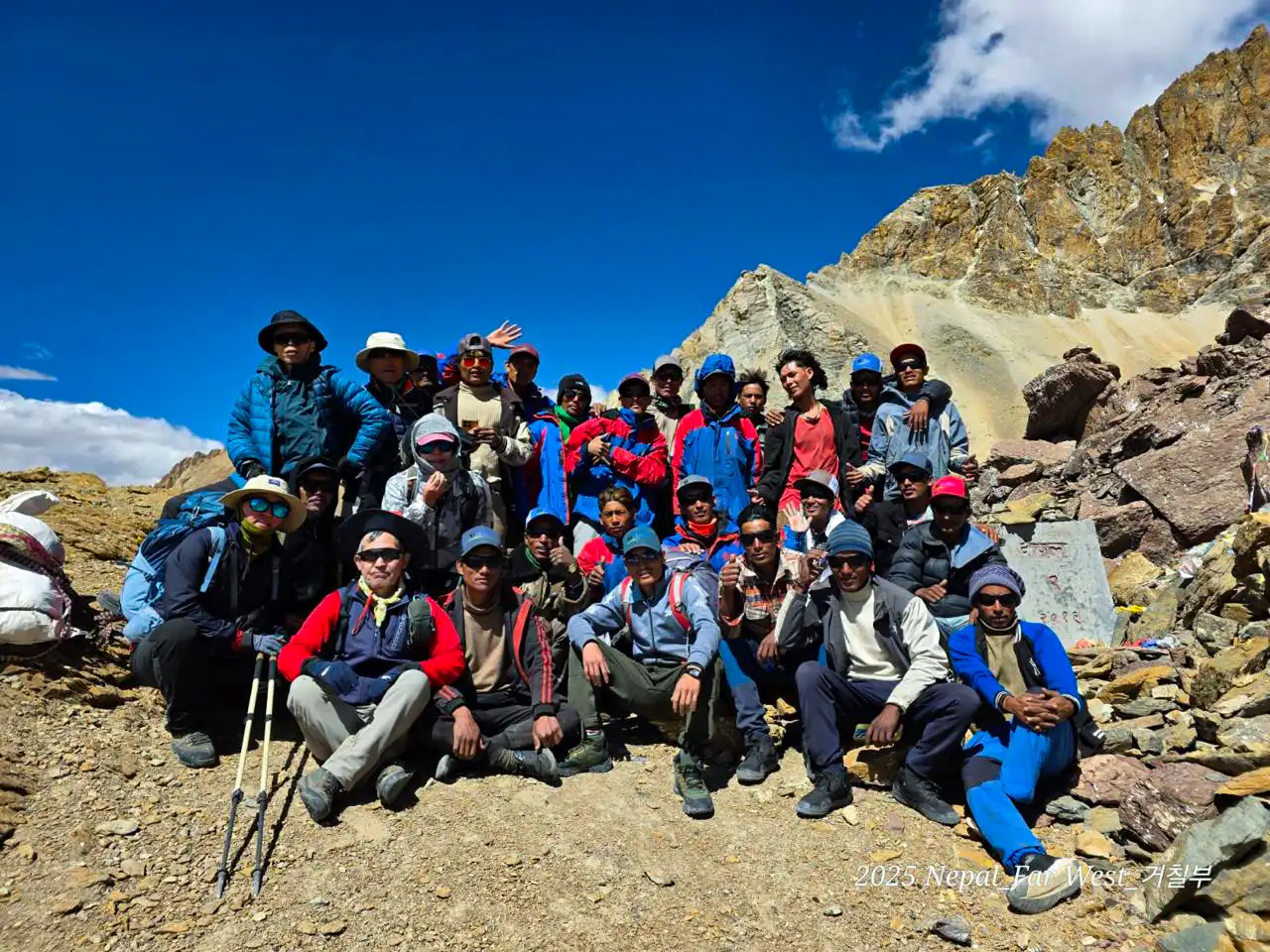
Nepal Has Two Faces. Most Trekkers Only See One. Everyone knows Everest Base Camp. Everyone has seen the photos of the Annapurna Circuit. They...
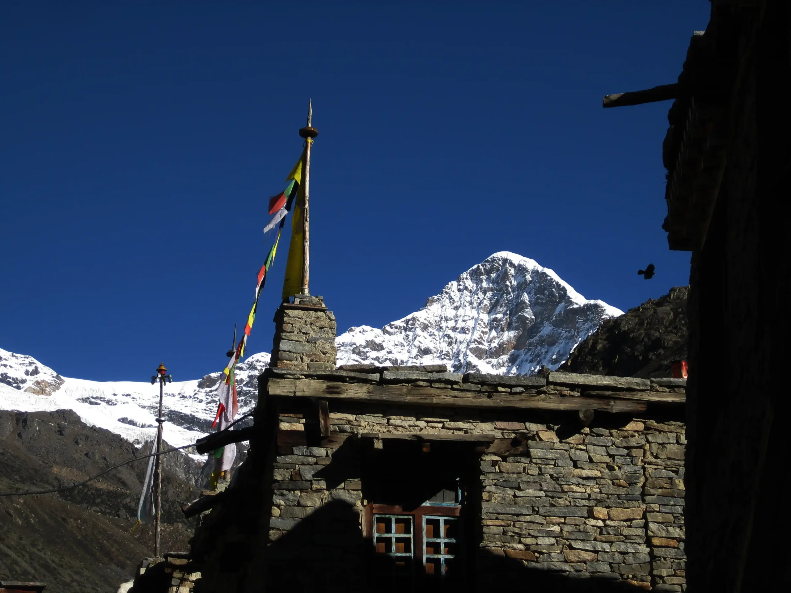
The Humla Limi Valley Trek is a 21-day remote camping trek in northwestern Nepal that follows ancient Tibetan trade routes through Halji, Til, and Jang villages. This restricted area trek crosses Nara La Pass (4,580m) and Nyalu La Pass (5,000m), offering authentic Tibetan Buddhist culture, Himalayan wilderness, and rare views toward Mount Kailash.
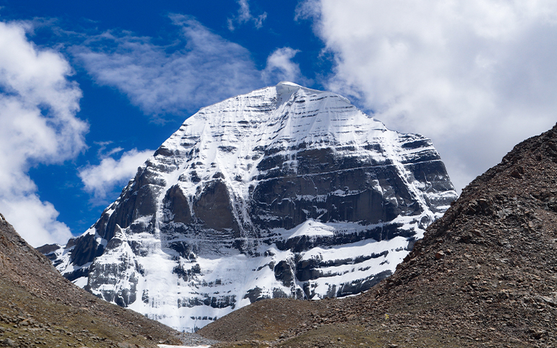
Kailash & Upper Humla Circuit Trek 2026: Start your spiritual journey to Mount Kailash and the remote Upper Humla region. Experience breathtaking Himalayan landscapes, unique Tibetan culture, and untouched wilderness. Trek safely with proper acclimatization, local guides, and essential gear for an unforgettable Kailash Yatra 2026.
