




Trip overview
Most companies still fly clients into Simikot. Firante rides there.
For decades, reaching Humla meant a small aircraft hop from Nepalgunj, weather permitting, with no overland alternative. That changed on July 6, 2025, when the Karnali corridor road was formally opened with the inauguration of the Bailey bridge over the Chuwakhola, connecting Humla to the national road network as the last of Nepal’s 77 districts to get one. This itinerary is Firante’s answer to that milestone: a full overland motorcycle route from Kathmandu to Simikot and into the Limi Valley approach, riding the mid-hill highway through Burtibang, Jajarkot, and Dailekh rather than skipping the journey by air.
Firante is based in Kathmandu and run by a Karnali-origin family. Our director, Janga, grew up in this part of far-western Nepal, and our route notes for this trip come from our own riders who have covered these roads rather than from a desk in the capital. That firsthand knowledge shapes every stage of the itinerary below, from where the tar road ends to which viewpoint actually shows Kailash on a clear day.
Why Ride to Humla Instead of Flying
Simikot flights are notoriously weather-dependent, and a missed flight window can strand a trip for days. The Karnali corridor changes the calculus. Riding it end to end also means the trip is not really about a single destination. It is a traverse across west Nepal’s mid-hills, through districts that see almost no foreign travelers at all: Pyuthan, Rolpa, Rukum, Jajarkot, Salyan, Dailekh, and finally Humla itself. Villages along the Burtibang to Dailekh stretch rarely see a tourist motorcycle, let alone a group of them, which keeps the entire middle section of this trip feeling genuinely unexplored.
Who This Trip Is For
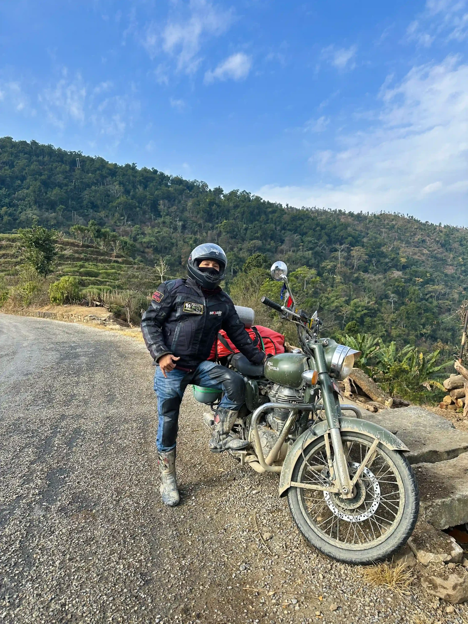
This is not a beginner motorcycle tour. Riders should be comfortable on gravel, loose surfaces, and mid-hill switchbacks, and be ready for riding days of five to seven hours over multiple consecutive days. The Humla section adds altitude above 2,900 meters, so a reasonable level of fitness matters as much as riding skill. Support includes a mechanic and spare parts carried with the group, plus a support vehicle, so breakdowns and fuel logistics are handled without depending on roadside availability in areas where neither is guaranteed.
Humla Limi Valley Motorcycle Expedition via Burtibang: The New Karnali Highway Route (17 Days) Highlights
- Ride the newly opened Karnali corridor overland all the way to Simikot, skipping the weather-dependent flight into Humla that every other operator still relies on.
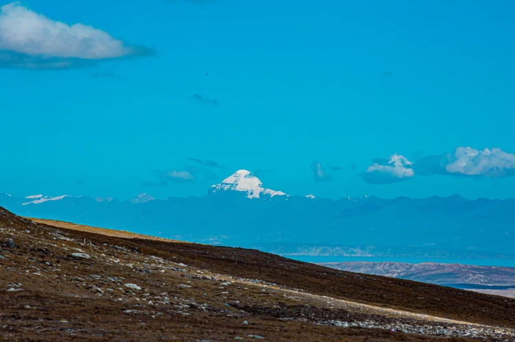
- A distant view of Mount Kailash from the Lapcha Syar viewpoint, reached by motorcycle rather than on foot.
- Cross remote mid-hill districts most travelers never see: Pyuthan, Rolpa, Rukum, Jajarkot, Salyan, and Dailekh.
- Ride the Nyalu La pass at roughly 5,000 meters, past Sheliman Lake and the Talung valley’s Talung Lake, en route to Takchi.
- An optional hot spring soak at Jang village and a visit to Rinchenling Monastery, the oldest monastery in the region, near Haji village.
- Enter the approach to Nepal’s Limi Valley and the Tibetan-influenced culture of upper Humla.
- A full loop route, not an out-and-back flight package, closing through Surkhet, Lumbini (birthplace of the Buddha), and a Chitwan jungle stop before returning to Kathmandu.
- Led by a Kathmandu-based team with direct Karnali-region roots, not a generic guide reading from a route sheet.
- Mechanic and spare parts carried with the group, plus a dedicated 4WD backup vehicle, for the full 17 days.
- Ride Royal Enfield Himalayan 450cc motorcycles, led by an experienced Road Captain.
Humla Limi Valley Motorcycle Expedition via Burtibang: The New Karnali Highway Route (17 Days) Itinerary
Expand AllArrival in Kathmandu (1,350 m)
Arrive at Tribhuvan International Airport and transfer to the hotel. Evening briefing on the route, the bikes, and the paperwork needed for the restricted area permit ahead. Bike fitting and a short familiarization ride if time allows.
Kathmandu to Pokhara (approx. 822m)
Standard paved highway riding out of the Kathmandu valley. The Kathmandu to Mugling stretch tends to be congested with cross-border cargo trucks and long-distance buses; the road opens up and smooths out for the final stretch into Pokhara. Overnight by Phewa Lake.
Pokhara to Burtibang (approx. 1,105 m ) Or Rukumkot
This is where the route leaves the mainstream tourist corridor. The road narrows into mid-hill highway, winding through terraced farmland and forest with far fewer vehicles on the road, and this is the first real test of the bikes on unpaved sections. From Pokhara it is about a 46-minute ride to Naudanda, a good spot to stop for breakfast with views of Annapurna, Dhaulagiri, and Manaslu. From Naudanda, ride roughly 1 hour 15 minutes to the Gandaki Golden Suspension Bridge, then continue via Baglung Bazaar to Inar Paani (about 50 minutes), and on to Kathekhola (about 35 minutes), a good lunch stop at the local road house hotel. Watch for a landslide zone near Kauche. The route continues through Haadi Khola and Kharpaani into the Badigurd Khola corridor, where there is a petrol pump, with a tea break option at Filbari Agro Resort before the final roughly 2-hour ride into Burtibang.
Burtibang to Jajarkot (approx. 1,121 m)
A long day through remote hill districts, with river crossings and steady elevation change and a curvy, genuinely fun road. On a clear day, this stretch offers views of Sisne Himal and the Dhaulagiri range. Jajarkot sees very little outside traffic, and the ride in gives a clear sense of how far this route sits from Nepal’s usual travel circuit. From Burtibang, ride toward the Kakri Highway, where there is a petrol pump for refueling, then continue about 40 minutes to Rukumkot (1,560m). From Rukumkot, a 30-minute ride into West Rukum’s Musikot Gaupalika area brings mountain views of Hiuchuli Patan Himal (5,916m) and Sisne Himal from the Kitani Bhir viewpoint. The route continues to Seri village, then turns left toward Jajarkot (2,945m). There is a fuel station along this stretch, though it is not always operating. The route passes Shulihale, home to a garden riverside homestay on the bank of the Sano Bheri river, then continues via Simle, Fukre, Githakot, and China Bagar on an uphill ride into Jajarkot itself, with overnight typically at RR Bheri Green Hotel. The Rukumkot to Jajarkot stretch alone takes about 2 hours 30 minutes over roughly 80 km.
Jajarkot to Dailekh (544 m)
Continued mid-hill highway riding with a mix of paved and gravel sections. Dailekh is a district headquarters town and a natural overnight stop before the terrain gets more demanding. The ride out of Jajarkot is downhill as far as Cheda Bazaar, then uphill on an off-road stretch toward Falyalna or Suyada, where the route rejoins the mid-highway. There is a manually operated petrol pump at Kudu, refueled from a jar rather than a pump, and the road from Kudu to Cheda Bazaar is in good condition. From Cheda Bazaar, the route continues through Chedagadh Nagarpalika and Karki village along the river, then climbs an off-road stretch to Suyada, the border between Jajarkot and Dailekh districts. From there, the route continues to Bestada and Lohare Khola, followed by a roughly 9 km uphill climb into Dailekh, with overnight typically at N.K. Hotel.
Dailekh to Piluchaur (1,365 m)
The longest and toughest riding day before Humla. Expect narrower roads, more switchbacks, and slower average speeds as the route climbs toward the Karnali basin. About 25 minutes downhill from Dailekh (N.K. Hotel), the route passes the China Aid Oil and Gas Resources Survey Project Nepal site, then continues toward Pool Bazaar and Sai village, where there is a petrol pump. From Sai village, take the right-hand road toward Piluchaur via Rakam Karnali, Jitgadh, and Santigadh.
Piluchaur to Simikot (2,910 m)
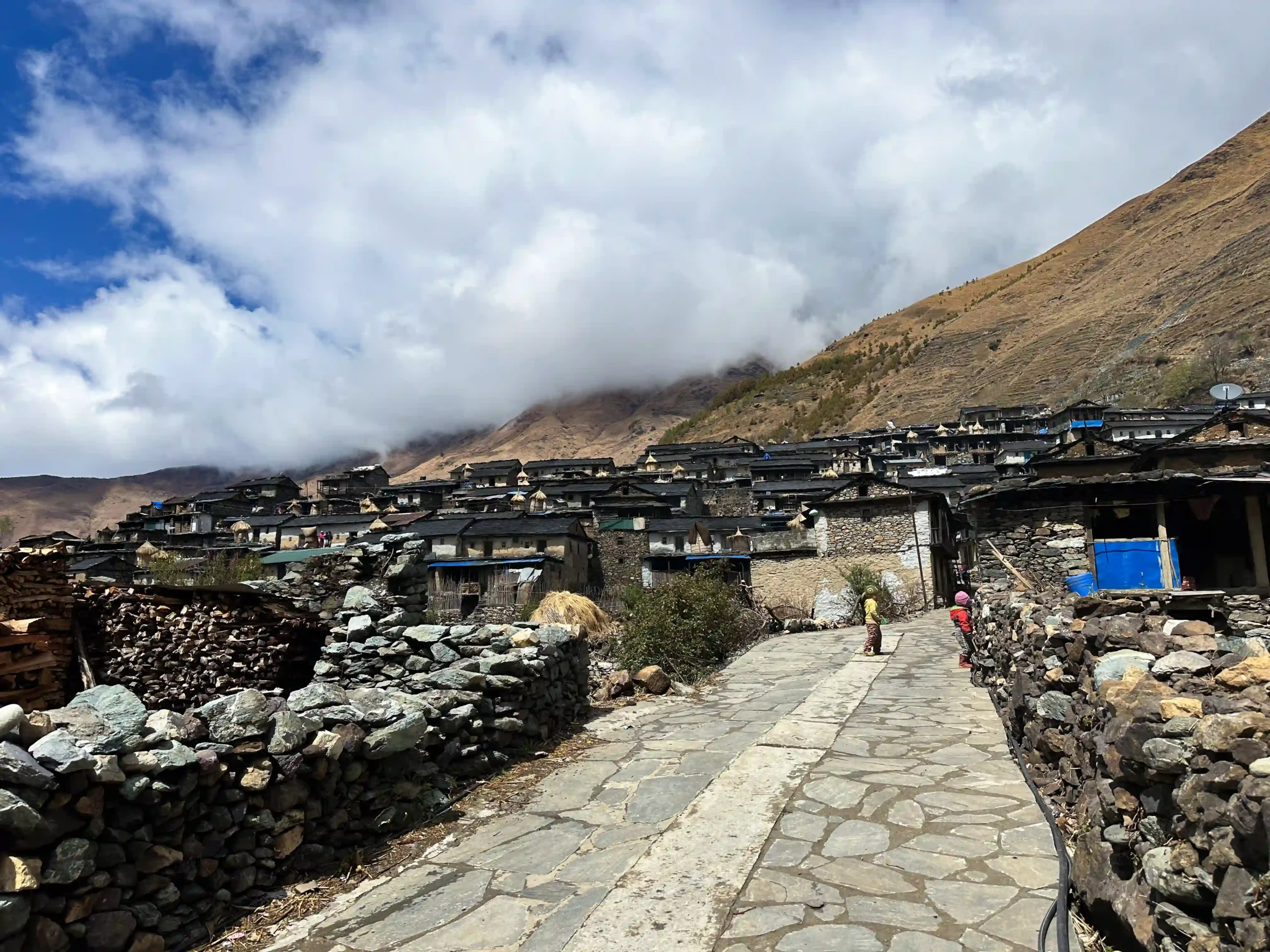
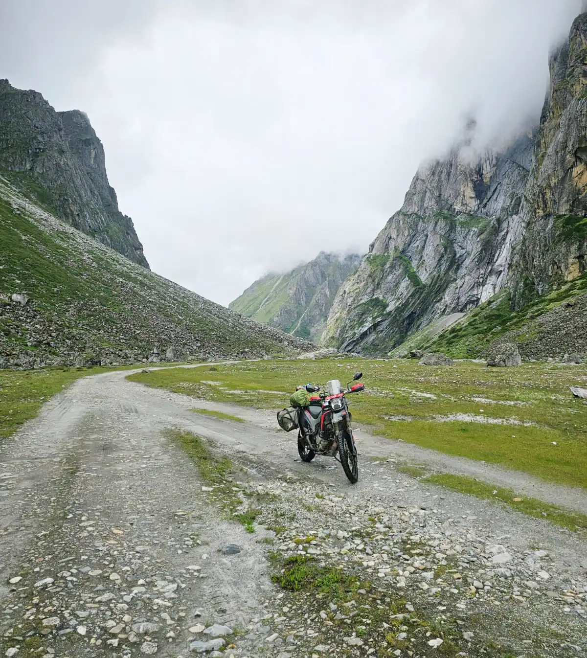
Arrival in Simikot, Humla’s district headquarters, by road rather than by air. This stretch rides the Karnali corridor itself, the road inaugurated in July 2025 that finally linked Humla to the rest of Nepal’s highway network. From Piluchaur the road is unpaved, running via Dhulachaur and Kawadi (the border between Humla and Dailekh districts), then on through Khachha, Sallisalla, Sarkegadh, Syaltadi, Khadikhet, Bokchyagauda, Yangchu, Kharpu, and Syamni into Simikot. Simikot sits above 2,900 meters, so the evening is kept easy to help with acclimatization.
Simikot to Takchi (4,230 m)
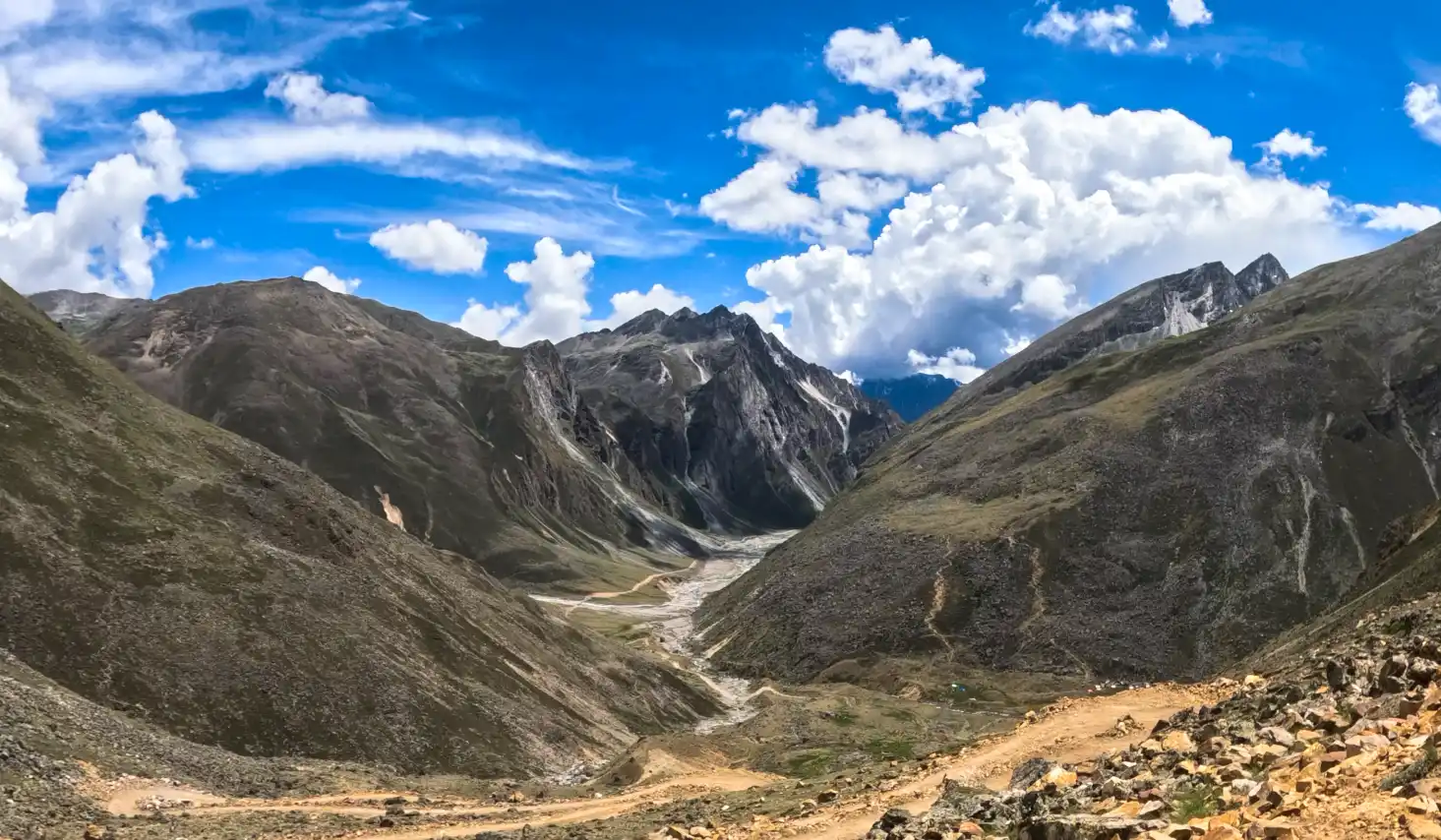
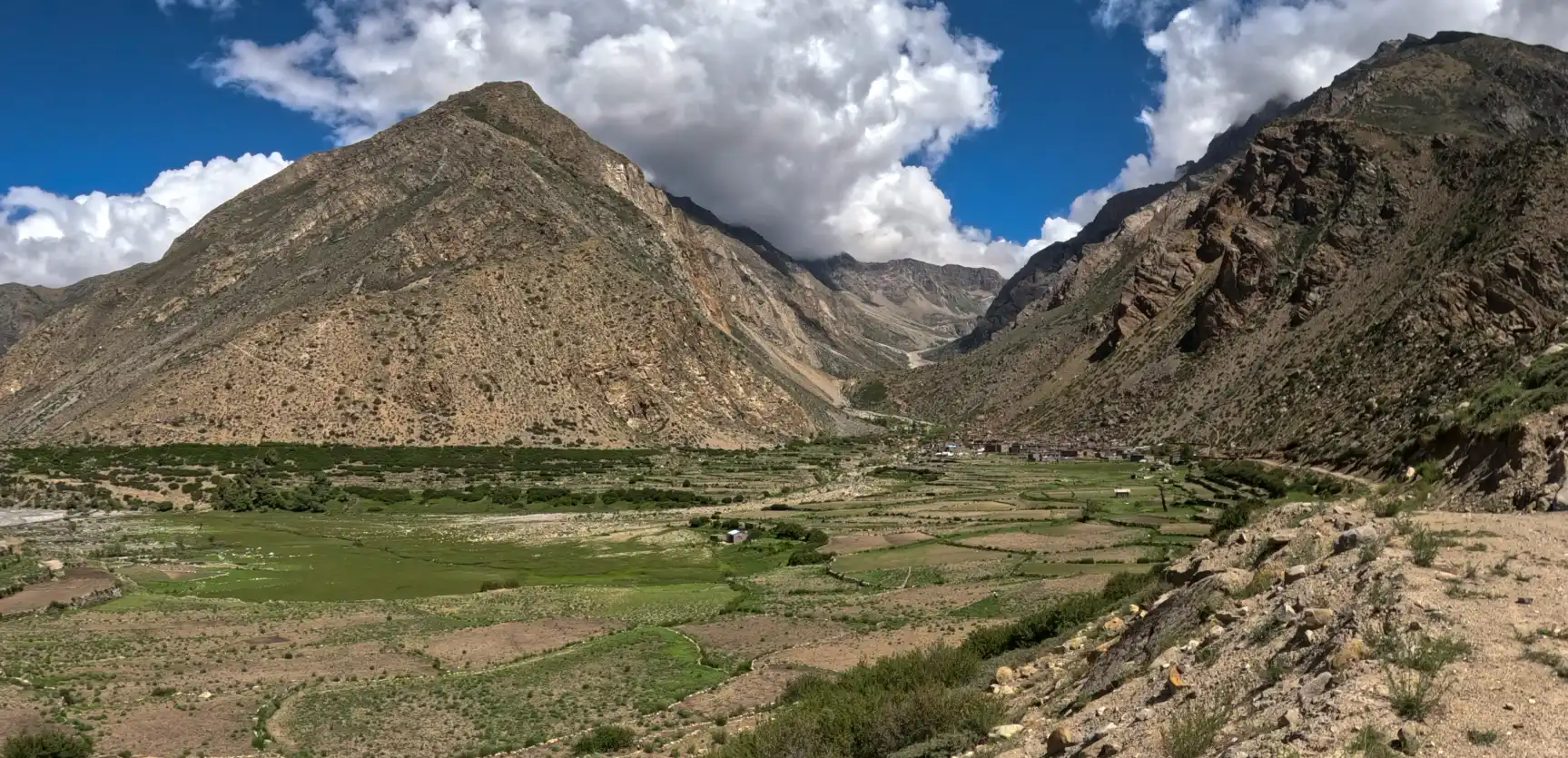
Widely considered the best riding day of the whole trip. Roads here turn rougher and higher, and the landscape shifts toward the drier, more Tibetan-influenced terrain that defines this part of Nepal. The route crosses the Nyalu La pass at roughly 5,000 meters, passing the beautiful Sheliman Lake and the Tsongsa waterfall, then continues through the Talung valley past Talung Lake and the Nying Khola on the way into Takchi. Takchi itself is the junction point for the Limi villages and the trailhead for the ride to the Mount Kailash viewpoint at Lapcha Syar.
Rest and Acclimatization Day
A full day at Takchi to adjust to the altitude before the ride to the Kailash viewpoint. Time to explore the immediate area on foot, service the bikes, and rest, or take an optional short ride to Jang village for a hot spring bath.
Takchi to Lapcha Syar (Kailash Viewpoint) (5,133m ) and Back
The ride to Lapcha, locally known as Lapcha Syar, the trip’s final destination and its signature stop: a magnificent view of Mount Kailash and Lake Mansarovar across the Tibetan plateau. The route crosses the Ponkyung La pass, an old caravan trading route, continues to Chakpalong, and reaches Lapcha at an elevation of 5,133 meters. After time to take in the view and photos, the ride returns to Takchi. With energy remaining, there is an optional short ride to Haji village to visit Rinchenling Monastery, the oldest monastery in the region, before heading back to Takchi for the night.
Takchi to Simikot (2,910 m)
The mood shifts on this ride. The goal has been reached, Kailash has been seen, and the return leg begins with a mix of quiet satisfaction and the ache of leaving high Humla behind. Retracing the route back to Simikot, the same landscape looks different in reverse: passes that felt uncertain on the way in now feel familiar, and there is time to actually notice the small things, a prayer flag line strung across a ridge, the particular blue of the sky at this altitude, that were easy to miss while focused on the climb.
Simikot to Piluchaur(1,365 m)
Back onto the Karnali corridor, riding it a second time with the confidence of knowing exactly what each stretch demands. Dust, saddle fatigue, and the accumulated wear of eleven days on the bike start to show, but so does the ease that comes from a group that has genuinely bonded on the road by this point. Descending out of Humla, the terrain gradually softens, and the strict rhythm of high-altitude riding starts to loosen.
Pilichaur to Surkhet (approx.720 m)
Return riding day through the mid-hills toward Surkhet, a larger valley town with better infrastructure and a change of pace after the high country. The roads widen, phone signal returns for the first time in days, and small comforts, a proper hot shower, a wider choice of food, start to feel like genuine luxuries rather than defaults. It is also a natural point to reflect on the trip so far over a relaxed dinner, with the hardest riding now behind the group.
Surkhet to Lumbini (approx. 103 m)
The descent from the hills to the Terai plains is dramatic in its own right: cool mountain air gives way to the warmer, thicker air of the lowlands, and the terrain flattens into wide agricultural country. Arrival in Lumbini brings a different kind of atmosphere entirely, quiet, contemplative, and historically significant as the birthplace of the Buddha and a UNESCO World Heritage Site. The Maya Devi Temple and the surrounding monastic zone, with monasteries built by different Buddhist nations in their own architectural styles, offer a natural, reflective pause after two weeks of demanding mountain riding.
Lumbini to Chitwan (189 m)
An easier riding day onward to Chitwan, trading temple courtyards for jungle and grassland. Chitwan National Park is one of Nepal’s best places to spot one-horned rhinoceros, wild elephants, and, with real luck, a Bengal tiger, alongside a wide range of birdlife along the Rapti River. After the thin air and gravel of Humla, the humid, green, slower rhythm of the Terai lowlands feels like an entirely different trip grafted onto the end of this one, which is much of the point.
Chitwan to Kathmandu via Hetauda Highway (1,350 m)
The final riding day, and it does not go quietly. The Hetauda highway climbs back over the Mahabharat range in a long series of switchbacks, one last genuine riding challenge before the loop closes. There is a particular feeling to this stretch, part focus, part nostalgia, knowing this is the last real riding of the trip. Arrival back into Kathmandu’s traffic and noise is a sharp contrast to the empty mid-hill roads of the past two weeks, and a clear marker that the expedition is complete.
Departure
A final breakfast together, time to exchange photos and contact details with the group, and a transfer to the airport for the flight home, carrying back a genuinely rare kind of story: having ridden overland into Humla on the same route the region itself only gained access to in 2025.
Not quite satisfied with this itinerary?
No worries – every traveler has unique preferences, and we’d be happy to adjust the plan to match your style, comfort, and interests. Let us know what you’d like to add or change, and we’ll create a journey that feels truly yours.
Customize TripCost Includes
- All airport transfers
- Accommodation in Kathmandu on a twin-sharing basis with breakfast
- All accommodation and full board meals for the rest of the trip, twin-sharing basis
- Humla Restricted Area Permit fee
- DDC tax
- Royal Enfield Himalayan 450cc motorcycles (or your choice of bike)
- Fuel for the entire trip
- An experienced Road Captain riding with the group, plus full backup support from a qualified, well-trained mechanic, including their meals, accommodation, and daily allowances
- A 4WD jeep as backup vehicle for the entire trip to carry luggage
- Road map
- First aid kit bag
Note: Minor repairs such as brake shoes, spark plugs, clutch plates, tubes, one set of cables, and engine oil are included in the cost. If additional damage occurs due to rough handling or an accident, the client is responsible for the extra cost.
Cost Excludes
- International airfares
- Nepal visa fee (if applicable)
- Personal medication
- Personal insurance, including evacuation and medical expenses
- Motorcycle insurance for accidents or damage
- Costs arising from flight cancellations, altitude sickness, or unforeseen circumstances (riots, natural calamities, and similar events) beyond Firante’s control
- Tips for staff and crew
- Personal expenses such as drinks and laundry
- Any item not listed under What’s Included
Additional Informations
Permits and Documents
This route runs through Nepal’s restricted areas, so it cannot be arranged independently. Firante handles the full process as a registered trekking and expedition agency licensed by Nepal’s Department of Tourism.
- Humla Restricted Area Permit: issued by the Department of Immigration, Nepal, through a registered agency only. Government rate is USD 50 per person for the first 7 days, plus USD 10 per person for each additional day. This route is designed for groups of 2 or more riders; solo travelers can also be accommodated, with a licensed guide required either way.
- Local development fee: a small additional charge collected in Simikot for travel into the Limi section of Humla.
- Nepal tourist visa: required for all foreign travelers in addition to the restricted area permit.
Permit rules and government fees are subject to change without notice. Firante confirms current rates at the time of booking.
Why Ride With Firante
Firante Treks & Expeditions has operated out of Kathmandu since 2006. What sets the company apart on this particular route is origin, not marketing: our director Janga is from the Karnali region, and members of our team have direct field experience in Humla and the surrounding districts, not just desk-based itinerary planning. That is also why this itinerary reflects real, current conditions, including the July 2025 opening of the Karnali corridor, rather than the fly-in routes most other operators still default to.
Trip Gallery
Trip FAQs
1. What is the Humla Limi Valley motorcycle tour via Burtibang?
It is a 17-day overland motorcycle expedition from Kathmandu to Simikot and the approach to Nepal’s Limi Valley, riding the mid-hill highway through Burtibang, Jajarkot, and Dailekh rather than flyi This journey offers a unique opportunity to experience the diverse landscapes and rich cultural heritage of Nepal. Participants will navigate through picturesque villages and rugged terrains, immersing themselves in the local traditions and hospitality along the way. The expedition not only showcases the breathtaking scenery but also fosters a deeper understanding of the region’s history and communities. Ultimately, this overland adventure presents a memorable exploration of Nepal’s hidden gems. Entering Humla.
2. Is Simikot accessible by road now?
Yes. The Karnali corridor road connecting Humla to Nepal’s national highway network was completed and formally opened on July 6, 2025, making Humla the last of Nepal’s 77 districts to be linked by road. Before this, Simikot could only be reached by flight from Nepalgunj.
3. Can I see Mount Kailash on this trip?
On a clear day, yes. The ride to the Lapcha Syar viewpoint on Day 10 offers a view of Mount Kailash and Lake Mansarovar across the Tibetan Plateau. Visibility depends on weather conditions.
4. What permits do I need for this route?
A Humla Restricted Area Permit issued by Nepal’s Department of Immigration, a local development fee payable in Simikot, and a standard Nepal tourist visa. Firante arranges the restricted area permit as a registered agency.
5. How long is the total riding distance?
Approximately 1,700 km round trip from Kathmandu back to Kathmandu, including the return leg through Surkhet, Lumbini, and Chitwan.
6. What level of riding experience is needed?
Intermediate to experienced. Riders should be comfortable with gravel and loose mid-hill roads and multi-day riding schedules of five to seven hours.
7. When is the best time to do this trip?
Spring (March to May) and autumn (September to November) for the clearest conditions across both the mid-hill highway and the Humla section.
You may also like
Most riders never think to point their bike west. That’s the whole appeal here. This route runs through country that tourism hasn’t really touched...
The Mt Kailash View Motorbike Tour is not a luxury ride. It’s a real journey into one of Nepal’s most isolated corners, Humla and...
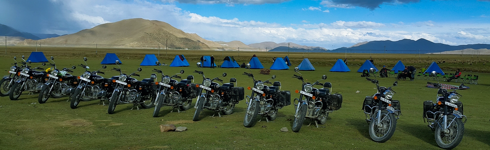
The Everest Motorbike trip is an old tour that takes you to Tibet by motorcycle on a new track. On a motorcycle, this trip...
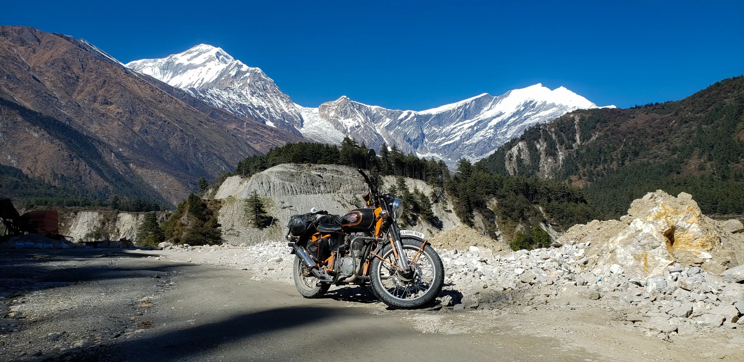
Mustang Valley, located north of the Annapurna Region and situated between Nepal and Tibet, is a remote, mysterious place with winding mountain roads. With...
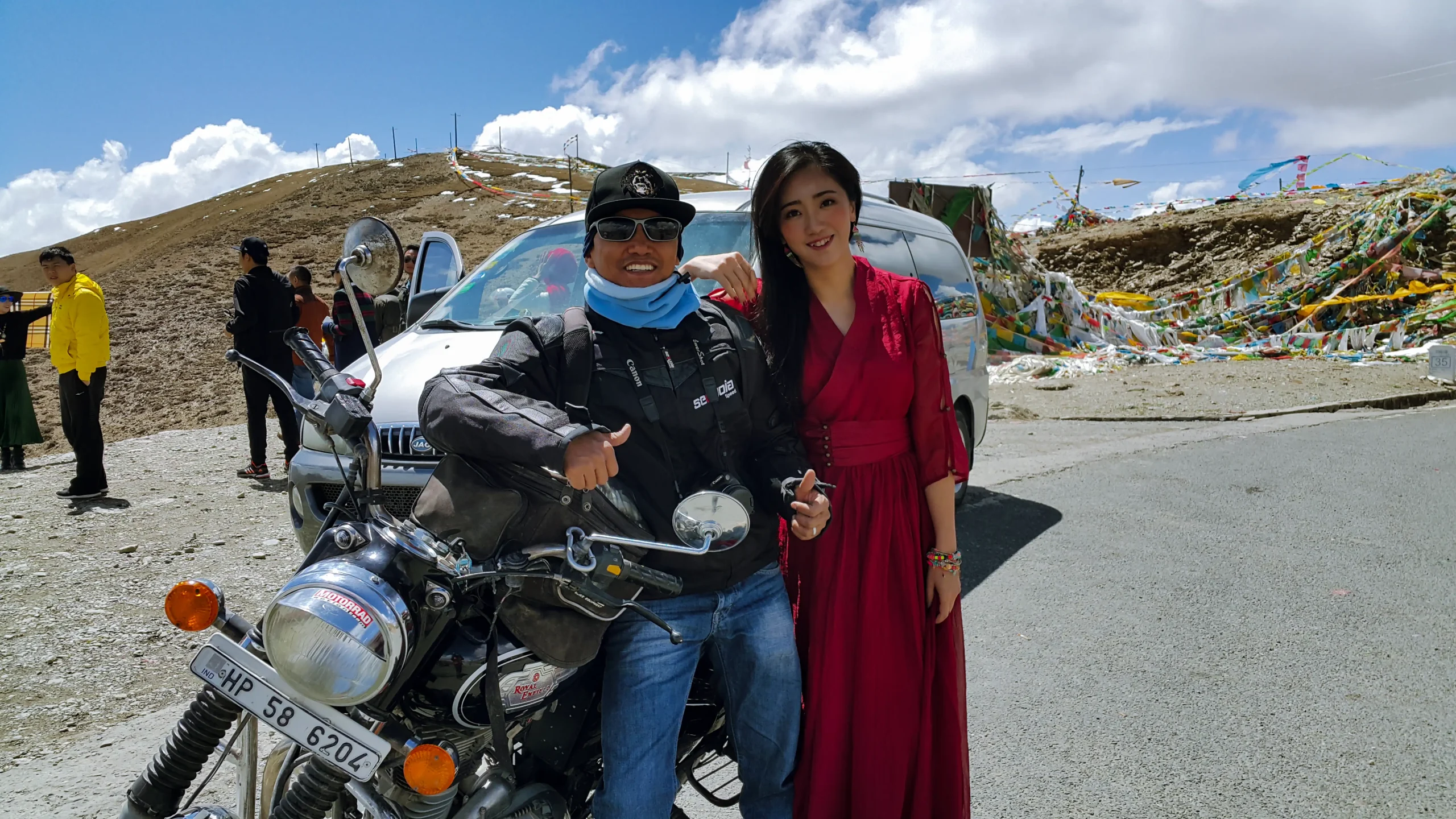
I’ve done this ride a few times now, and every single trip feels different, like the mountain itself decides what you’ll take home. Our...
